The Ha Giang Loop map is like a “compass” that guides you through the entire journey exploring Vietnam’s northernmost region. With dozens of mountain passes, steep slopes, hairpin turns, ethnic villages, and famous check-in spots like Ma Pi Leng, Dong Van, Quan Ba, and the Nho Que River, having a clear understanding of the route map will help you navigate more confidently, stay on track, and ensure safety. In this updated 2025 guide, Valor Ha Giang Loop provides detailed maps for each section, highlights the most scenic stops, and shares essential tips to help you enjoy a complete and memorable Ha Giang Loop adventure.
Overview of Ha Giang – The northernmost region of Vietnam
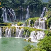
Ha Giang is a frontier province located in the far north of Vietnam, bordering China. The region is renowned for its majestic limestone mountains, winding mountain passes such as Ma Pi Leng, vast green valleys, the H’Mong King’s Palace, and the Twin Mountains of Quan Ba. Together, these elements create a landscape that is both raw and magnificent, earning Ha Giang its reputation as Vietnam’s “motorbike pilgrimage,” especially attractive to adventure seekers exploring by motorcycle.
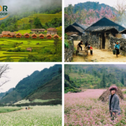
As a highland province, Ha Giang enjoys a cool climate throughout the year, with average temperatures ranging from 21 to 23°C, significantly lower than in the lowlands. Travelers can visit Ha Giang at any time, but autumn is considered the most beautiful season, when the sky is clear, the weather is pleasant, and the mountains are at their most vibrant. From October to December, buckwheat and mustard flowers bloom, painting the hillsides in shades of pink and yellow. In spring, apricot and plum blossoms blanket the landscape in white, creating a dreamlike, fairy-tale atmosphere.
Beyond its climate and breathtaking scenery, Ha Giang is home to 19 ethnic groups, including the H’Mong, Tay, and Nung. Each group preserves its own unique customs, festivals, and culinary traditions. Northern highland specialties such as mắc khen pepper, Doi beans, smoked hanging meat, thang co, and men men carry the rich flavors of the mountains, often prepared with star anise, cardamom, and locally sourced honey.
Ha Giang’s northernmost region, featuring majestic limestone terrain and fresh, clean air
4 must-experience mountain passes in Ha Giang for the 2025 loop trip
The Ha Giang Loop has long been a favorite destination for Vietnamese motorbike travelers, where every kilometer of road unfolds into a majestic landscape that makes anyone want to stop and take it all in. The combination of towering limestone mountains, lush green valleys, ethnic villages, and fresh mountain air turns this route into a dream journey for every adventure rider.
Ha Giang – Tam Son Route
The Ha Giang – Tam Son route is one of the most scenic and easiest sections of the Ha Giang Loop, located at an altitude of around 1,000 meters above sea level. It is an ideal choice for travelers who have only one to two days and want to experience riding through cool, fresh air, lush green valleys, and layers of towering limestone mountains.
During the harvest season, the terraced fields along both sides of the road are covered in a shimmering green, creating a truly breathtaking view. From October to December, buckwheat flowers bloom in abundance, transforming the entire area into a stunning pink carpet. Beyond its natural beauty, the Tam Son route is rich in cultural value, featuring traditional festivals of the H’Mong and Tay people such as the Ox Worship Festival and the Harvest Prayer Festival. If you visit at the right time, you can also explore Quyet Tien Market on Saturday mornings, where local ethnic communities dress in vibrant traditional attire and bring their unique agricultural products to trade and sell.
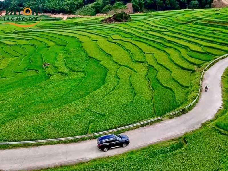
The Ha Giang – Tam Son Route with lush green terraced fields on both sides
Tam Son – Yen Minh Route
The Tam Son – Yen Minh route is one of the most famous road stretches in the Ha Giang Loop, especially suitable for travelers who love adventure, scenic views, and exploring the cultural identity of the highlands. From Tam Son to Yen Minh, you will pass winding mountain passes, towering limestone ranges, and villages of the H’Mong, Tay, and Nung ethnic groups scattered along both sides of the road.
The best time to experience this route is from October to December, when buckwheat flowers bloom across the valleys, giving Yen Minh a romantic beauty typical of the rocky highlands. The highlight of this route is Yen Minh Pine Forest, often referred to as the “Da Lat of Northern Vietnam.” The cool air, drifting mist, and endless hills of tall pine trees create a truly captivating natural landscape.
From Yen Minh, you can take a detour to Du Gia Village in Ha Giang, where crystal-clear waterfalls, peaceful valleys, and wooden houses nestled against the mountainsides await. Du Gia is the perfect stop after a long day of traveling, allowing visitors to relax under the waterfalls, unwind, and fully immerse themselves in the pristine beauty of Ha Giang.
The winding curves of the Tam Son – Yen Minh mountain pass hug the majestic limestone cliffs
The Yen Minh – Dong Van – Lung Cu route
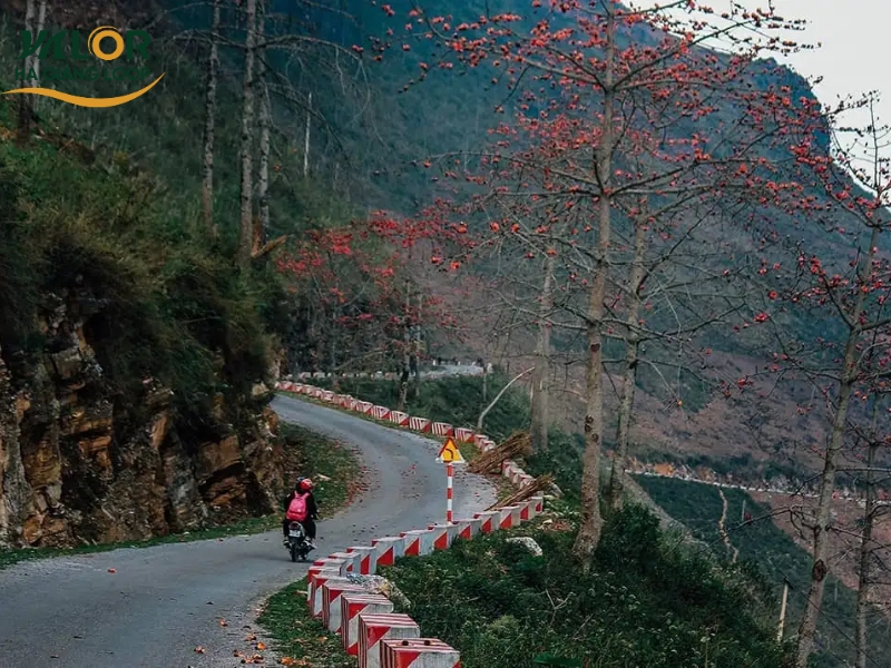
The Yen Minh – Dong Van – Lung Cu route is considered one of the most beautiful and challenging journeys in Ha Giang. Steep terrain, numerous hairpin bends, sheer cliff faces, and winding roads make this route an ideal choice for adventure riders who love conquering and exploring. In return, travelers are rewarded with magnificent scenery along the way—towering rocky mountains, deep valleys, and villages nestled among the hills—all coming together to create an exhilarating sense of freedom.
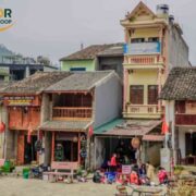
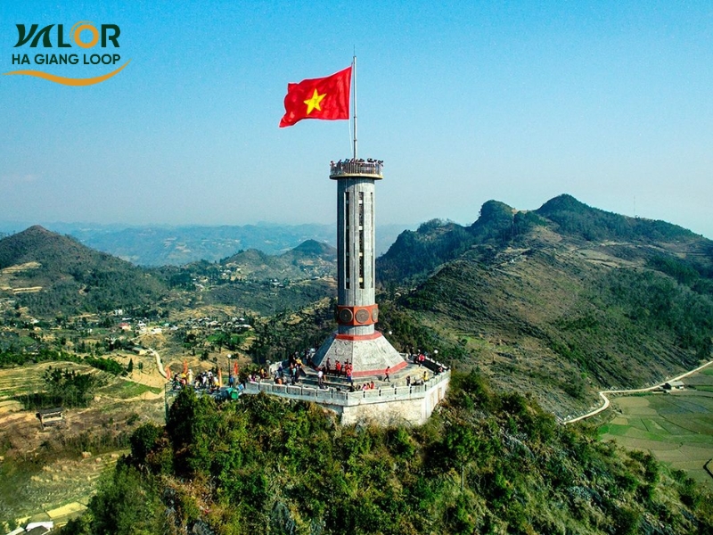
The Dong Van Karst Plateau, at an altitude of 1,000–1,600 meters, preserves traces of ancient history and culture. Dong Van Old Quarter, the characteristic gray limestone mountains, and the vast open mountain landscape form a setting that is both historic and wild. The journey ends at Lung Cu, the sacred northernmost point of Vietnam that every visitor to Ha Giang longs to reach. From the Lung Cu Flag Tower, you can take in a panoramic view of yellow earthen-walled houses, lush green terraced fields, and the undulating limestone terrain, evoking a feeling that is both proud and peaceful.
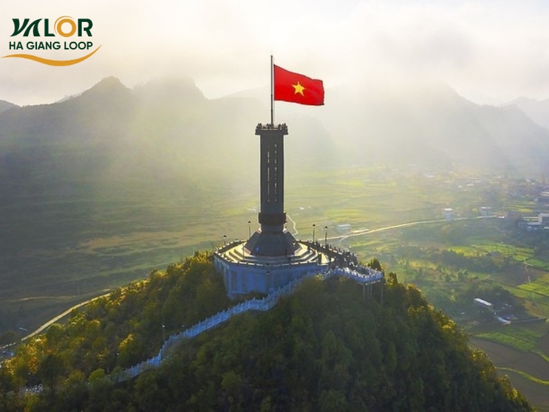
The flag flies high atop Lung Cu — the sacred northernmost point of Vietnam
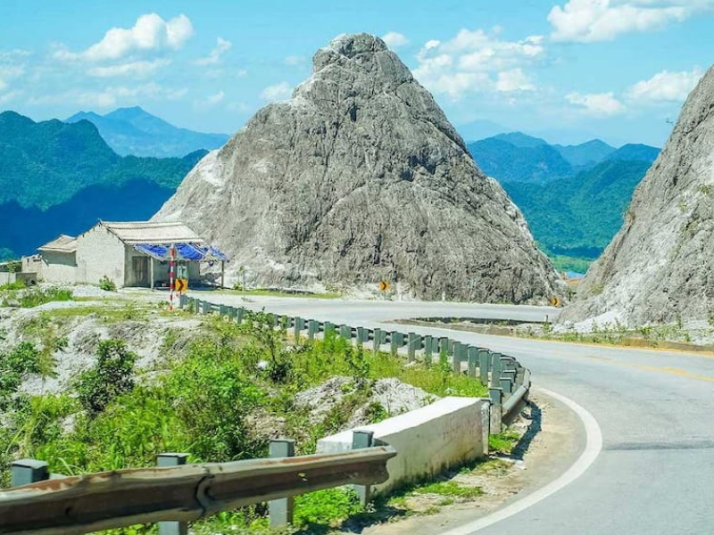
The Dong Van – Meo Vac – Du Gia route
The route from Dong Van to Meo Vac and down to Du Gia takes travelers across rocky plateaus, deep valleys, terraced rice fields, and narrow roads clinging to steep mountain cliffs. Ma Pi Leng Pass is the standout highlight of the entire Ha Giang Loop. With its rugged terrain—towering mountains on one side and a dizzying abyss on the other, where the jade-green Nho Que River winds far below—Ma Pi Leng delivers a sense of awe that is both majestic and overwhelming.
The stretch from Meo Vac to Du Gia is about 80 km long, with the first 26 km of the Meo Vac–Sung Trai section being especially notorious for its steep, narrow, and challenging roads. Riders need to stay highly focused, particularly on days with heavy fog. Along the way, the scenery features cornfields, towering limestone mountains, and lush green vegetation—at its most beautiful after the first rains of the season. With its verdant valleys, peaceful villages, and the famous Tham Luong Waterfall, Du Gia is the perfect place to end the journey.
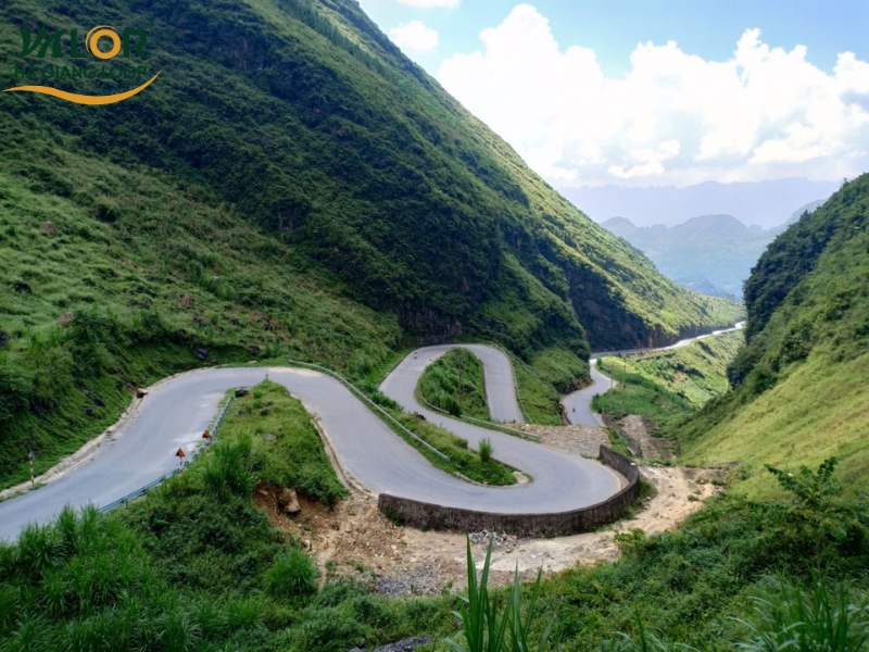
The road clinging to the rugged mountainside between Dong Van and Meo Vac
Must-try mountain specialties of Ha Giang
Ha Giang cuisine bears the strong imprint of its mountains and forests as well as the cultures of its indigenous ethnic groups. Along the Ha Giang Loop journey, travelers can enjoy a variety of rustic yet captivating dishes such as smoked buffalo meat, Dong Van egg rice rolls, thang den, men men, five-colored sticky rice, and Ha Giang sour pho. Each dish is prepared using local ingredients like stone-grown corn, wild vegetables, free-range meat, and distinctive spices such as mac khen and doi seeds, creating flavors that are unique and hard to find elsewhere. This culinary experience is an essential part of making the Ha Giang Loop adventure more complete and deeply enriching.
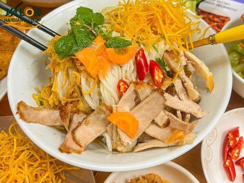
Ha Giang sour pho with its distinctive flavor, blending a variety of local ingredients
We hope the information in this article has helped you gain a clearer picture of the Ha Giang Loop map and the most beautiful routes to experience in 2025. With its majestic landscapes, unique culture, and inspiring challenges, Ha Giang truly deserves to be a journey every adventurer should experience at least once. If you need assistance with itineraries, motorbike rentals, or are looking to enjoy the Ha Giang Loop in a more complete and safer way, Valor Ha Giang Loop is always ready to accompany you on every road.